BM013829789
| IdentifierTerms | |
|---|---|
| occurrenceID | 026e14f8-3477-4482-b988-da4bdea85b24 |
| RecordLevelTerms | |
| modified | 2022-07-01T12:32:57+00:00 |
| institutionCode | NHMUK |
| collectionCode | BOT |
| basisOfRecord | PreservedSpecimen |
| created | 2021-12-09T10:57:32+00:00 |
| OccurrenceTerms | |
| catalogNumber | BM013829789 |
| recordNumber | s.n. |
| recordedBy | ['Anon.'] |
| individualCount | |
| sex | |
| lifeStage | |
| occurrenceStatus | present |
| preparations | |
| otherCatalogNumbers | NHMUK:ecatalogue:9502085 |
| associatedMedia | |
| EventTerms | |
| samplingProtocol | |
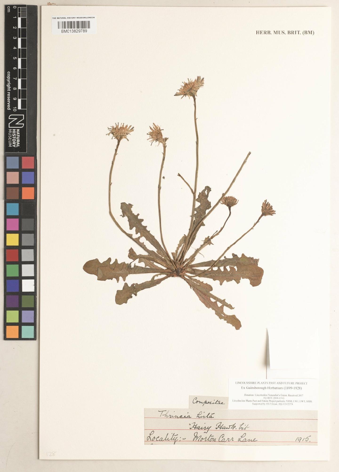
| year | 1915 |
| month | |
| day | |
| habitat | |
| fieldNumber | s.n. |
| LocationTerms | |
| higherGeography | Europe; United Kingdom; England; Lincolnshire |
| continent | Europe |
| waterBody | |
| islandGroup | |
| island | |
| country | United Kingdom |
| stateProvince | England |
| locality | Morton, North Kesteven |
| minimumElevationInMeters | |
| maximumElevationInMeters | |
| minimumDepthInMeters | |
| maximumDepthInMeters | |
| verbatimLatitude | 53 09 42.00 N |
| verbatimLongitude | 000 40 53.55 W |
| decimalLatitude | 53.161666 |
| decimalLongitude | -0.681543 |
| geodeticDatum | |
| coordinateUncertaintyInMeters | |
| georeferenceProtocol | Google Maps |
| GeologicalContextTerms | |
| earliestEonOrLowestEonothem | |
| latestEonOrHighestEonothem | |
| earliestEraOrLowestErathem | |
| latestEraOrHighestErathem | |
| earliestPeriodOrLowestSystem | |
| latestPeriodOrHighestSystem | |
| earliestEpochOrLowestSeries | |
| latestEpochOrHighestSeries | |
| earliestAgeOrLowestStage | |
| latestAgeOrHighestStage | |
| lowestBiostratigraphicZone | |
| highestBiostratigraphicZone | |
| group | |
| formation | |
| member | |
| bed | |
| IdentificationTerms | |
| identifiedBy | |
| identificationQualifier | |
| typeStatus | |
| TaxonTerms | |
| scientificName | Thrincia hirta Roth |
| higherClassification | Magnoliophyta; Asterales; Asteraceae |
| kingdom | |
| phylum | Magnoliophyta |
| class | |
| order | Asterales |
| family | Asteraceae |
| genus | Thrincia |
| subgenus | |
| specificEpithet | hirta |
| infraspecificEpithet | |
| taxonRank | |
| scientificNameAuthorship | Roth |
| Dynamic properties | |
| associatedMedia.PixelXDimension | |
| associatedMedia.PixelYDimension | |
| associatedMedia._id | |
| associatedMedia.assetID | |
| associatedMedia.category | |
| associatedMedia.created | |
| associatedMedia.creator | |
| associatedMedia.format | |
| associatedMedia.identifier | |
| associatedMedia.license | |
| associatedMedia.mime | |
| associatedMedia.modified | |
| associatedMedia.rightsHolder | |
| associatedMedia.title | |
| associatedMedia.type | |
| associatedMediaCount | 1 |
| barcode | 013829789 |
| catalogueDescription | |
| chondriteAchondrite | |
| chronostratigraphy | |
| clutchSize | |
| collectionKind | Sheet |
| collectionName | |
| commodity | |
| created | 2021-12-09T10:57:32+00:00 |
| currentScientificName | |
| dateRegistered | |
| depositType | |
| determinationFiledAs | ['Yes'] |
| determinationNames | ['Thrincia hirta Roth'] |
| donorName | Lincolnshire Naturalists' Union |
| expedition | |
| exsiccata | |
| exsiccataNumber | |
| extractionMethod | |
| gbifID | 3457643175 |
| gbifIssue | ['MODIFIED_DATE_INVALID', 'GEODETIC_DATUM_ASSUMED_WGS84', 'INSTITUTION_MATCH_FUZZY', 'COLLECTION_MATCH_FUZZY', 'MULTIMEDIA_DATE_INVALID'] |
| identificationAsRegistered | |
| identificationDescription | |
| identificationOther | |
| identificationVariety | |
| kindOfCollection | |
| kindOfObject | |
| lithostratigraphy | |
| meteoriteClass | |
| meteoriteGroup | |
| meteoriteType | |
| mine | |
| mineralComplex | |
| observedWeight | |
| occurrence | |
| partType | |
| petrologySubtype | |
| petrologyType | |
| plantDescription | |
| populationCode | |
| preparationType | |
| preservative | |
| project | Lincolnshire Plants: Past and Future |
| recovery | |
| recoveryDate | |
| recoveryWeight | |
| registrationCode | |
| resuspendedIn | |
| setMark | |
| subDepartment | British and Irish Herbarium |
| subfamily | |
| suborder | |
| superfamily | |
| texture | |
| totalVolume | |
| vessel | |
Location
Images

IIIF (International Image Interoperability Framework) provides rich metadata and media viewing options for images allowing (amongst other things) comparison of objects across natural history collections. Visit the IIIF page to learn more.
View Manifest | View in Image ViewerCite this as
We track changes to records and therefore you have a choice of citation options:
To cite the most up to date record data use the Latest URL.
Or to cite this specific version of a record's data, ensuring any followers of the link see the same data every time they visit the link, use the Version URL.
Version Permanent URL for this version of the record data:
https://data.nhm.ac.uk/object/026e14f8-3477-4482-b988-da4bdea85b24/1752583504928
Retrieved: 09 Aug 2025 09:36:26 (UTC)
Latest Permanent URL for the most up to date record data:
https://data.nhm.ac.uk/object/026e14f8-3477-4482-b988-da4bdea85b24
Retrieved: 09 Aug 2025 09:36:26 (UTC)
External Links
Additional Information
| Created | 2021-12-09T10:57:32+00:00 |
|---|---|
| Last updated | 2022-07-01T12:32:57+00:00 |
| Format | DWC |
| License | CC0-1.0 |
| Dataset | collection-specimens |
| Dataset ID | 56e711e6-c847-4f99-915a-6894bb5c5dea |
| Resource | Specimens |
| Resource ID | 05ff2255-c38a-40c9-b657-4ccb55ab2feb |